Space Powered Monitoring
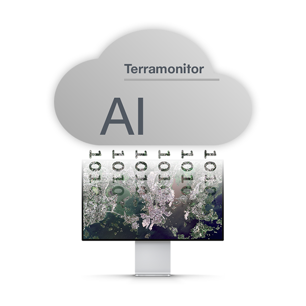
Terramonitor uses the power of cutting-edge artificial intelligence technology to unlock valuable insights from satellite imagery. Our team of experts combines a passion for innovation with a deep understanding of remote sensing and machine learning to provide comprehensive solutions tailored to your needs.

Advanced Image Analysis
Our AI algorithms analyze satellite imagery with precision, identifying patterns, anomalies, and trends that may not be visible to the human eye. Whether you need land cover classification, vegetation monitoring, or infrastructure assessment, we have you covered.

Custom Solutions
We understand that every project is unique. That’s why we work closely with our clients to develop customized AI solutions that address specific challenges and objectives. From forest monitoring to infrastructure maintenance, we leverage our expertise to deliver results that exceed expectations.

Scalable Infrastructure
Whether you’re analyzing a single image or processing petabytes of data, our scalable infrastructure can handle projects of any size. With state-of-the-art cloud computing resources and optimized algorithms, we ensure reliable performance and timely delivery, no matter the scale.
Observe any area
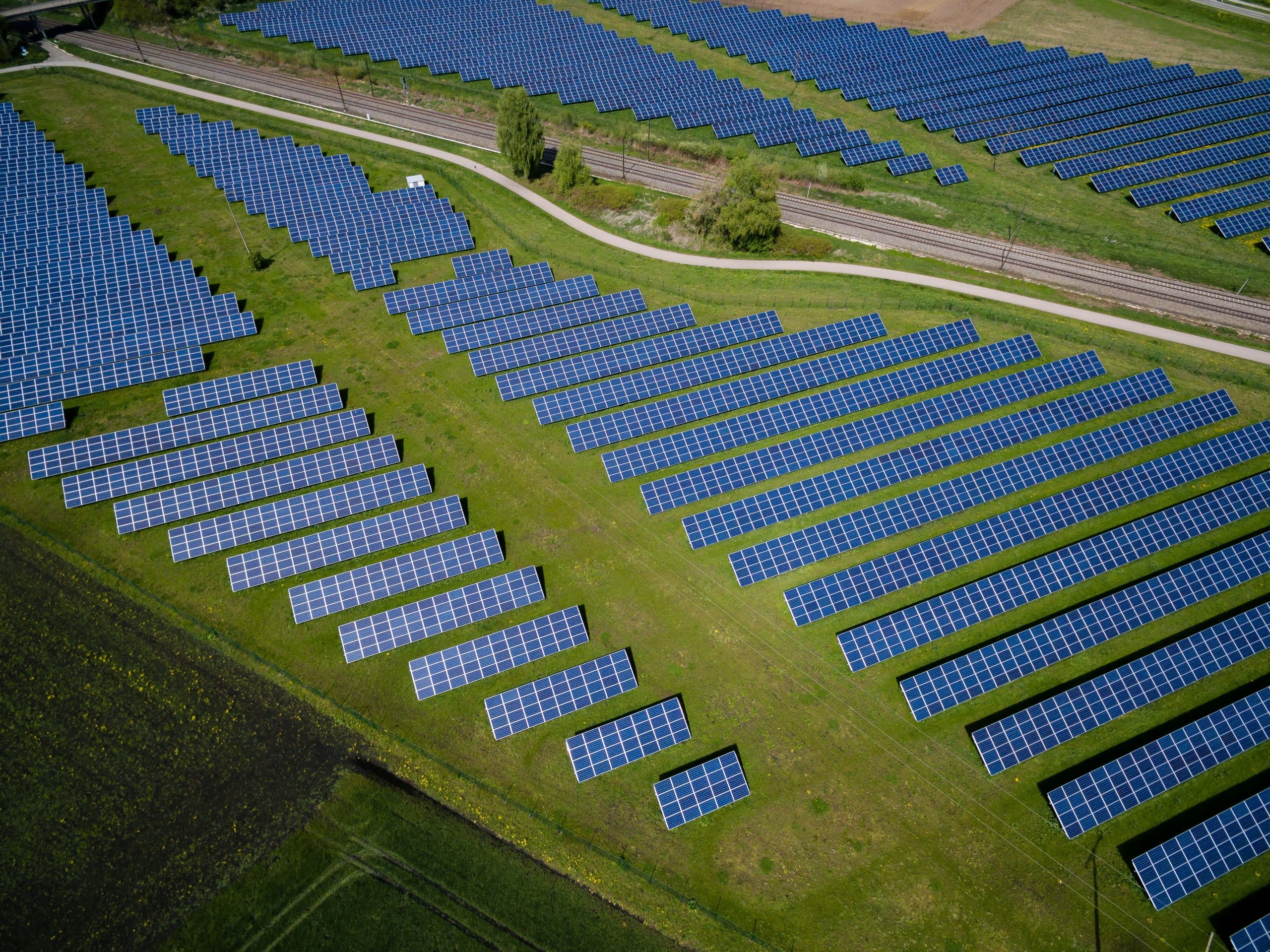
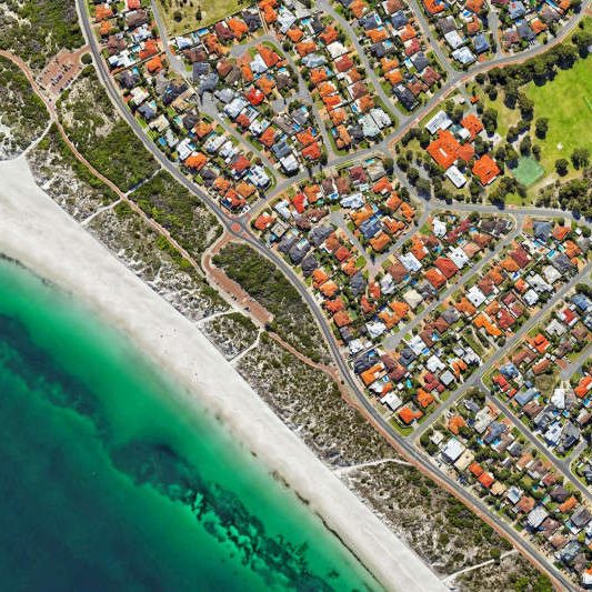
Always have an up-to-date view of your area, no matter where you are. With a constantly updating view, you can monitor new changes in your area. Additional vegetation and false colour maps allow you to analyse status and development of the area.
Leave the guesswork on the ground
Our technology is based on the satellite data processing chains, image scanning and multi-source data merging. As a result of this data process, we create new information to support your decisions and processes.
Open API
Terramonitor is designed and built by curious GIS People for professional GIS People. We enable you to enrich your existing systems and business decision making processes. Our service is always open to integrate through an API for any GIS system.