FinCAS, Finnish Calibration Site in Sjökulla (Finland) is a joint project carried out by the Finnish Geospatial Research Institute (FGI), part of the National Land Survey of Finland (NLS), and Terramonitor. Project is funded by the European Space Agency (ESA). The aim of the project is to define satellite data calibration and validation (cal/val) site requirements for the future.
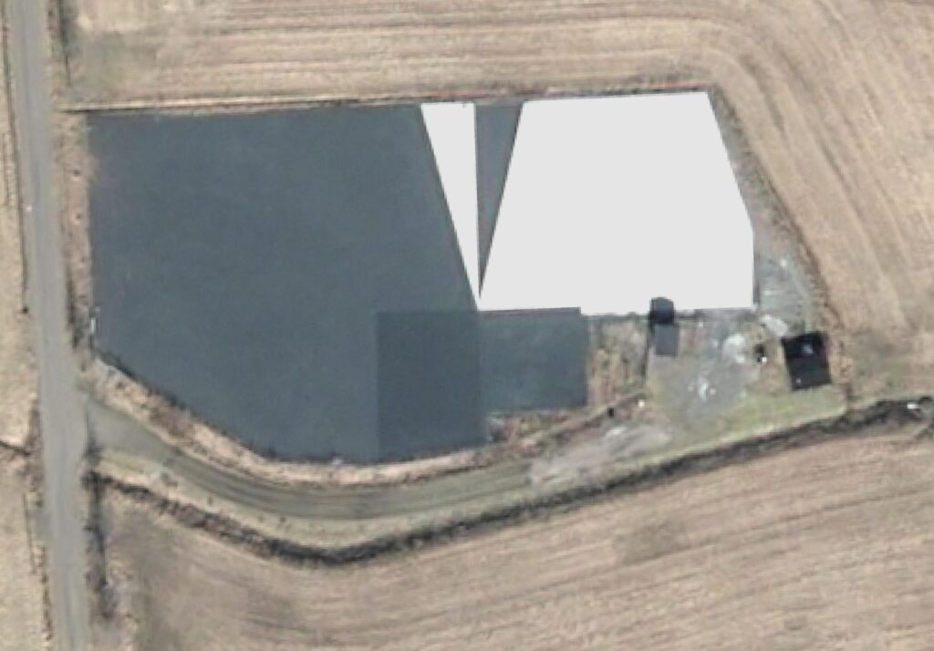
Satellite image acquired 8.4.2026 by Pléiades Neo (30cm resolution)
Invitation to High Optical Satellite Operators
The FINCAS project team is currently identifying and engaging suitable high optical satellite data operators interested in participating in the summer 2026 pilot campaigns.
The objective is to create a collaborative environment where commercial and institutional Earth observation operators can evaluate calibration performance, validation workflows, and interoperability using the FINCAS reference infrastructure.
Organizations interested in participating in the pilot activities are encouraged to contact the project team during the coming months as operational planning progresses.
Moving Toward Operational Phase
The continued development of the FINCAS Cal/Val Site marks another step toward establishing advanced calibration and validation site in Finland.
The site capabilities will support the next generation of Earth observation services in fututre.
With the first very high resolution imagery now acquired and field instrumentation deployment beginning, the project is entering an exciting new operational phase ahead of the summer pilot season.
Summer 2026 Pilot Activities Preparing to Launch
Preparations are currently ongoing for the first pilot testing campaign planned for summer 2026. Several technical groundwork activities have already started at the site.
Current activities include:
- Gravel laboratory calibration measurements for site characterization
- Upcoming 3D LiDAR imaging and terrain modelling of the entire test area
- Installation of Bottom-of-Atmosphere Greenmonitor instrumentation system, supported by campaign based measurements during summer
- Development of reference measurement workflows for optical satellite data validation
These activities are essential for establishing the FINCAS site as a reliable and repeatable calibration and validation environment for Earth observation applications.
For more information contact@terramonitor.com