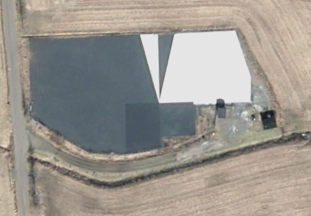
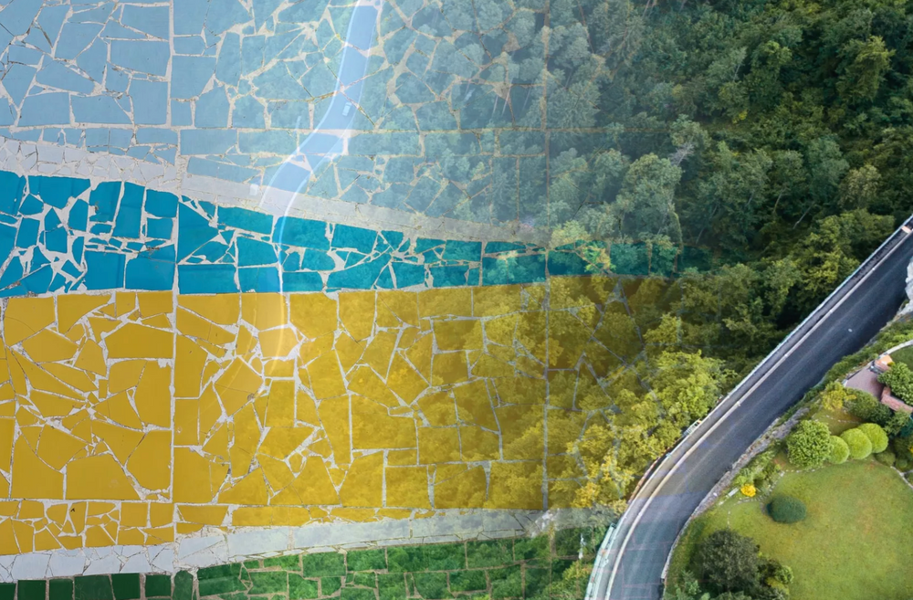
FinCAS Calibration Site Prepares For Piloting
FinCAS, Finnish Calibration Site in Sjökulla (Finland) is a joint project carried out by the Finnish Geospatial Research Institute (FGI), […]
FinCAS Calibration Site Prepares For Piloting Read More »
FinCAS, Finnish Calibration Site in Sjökulla (Finland) is a joint project carried out by the Finnish Geospatial Research Institute (FGI), […]
FinCAS Calibration Site Prepares For Piloting Read More »
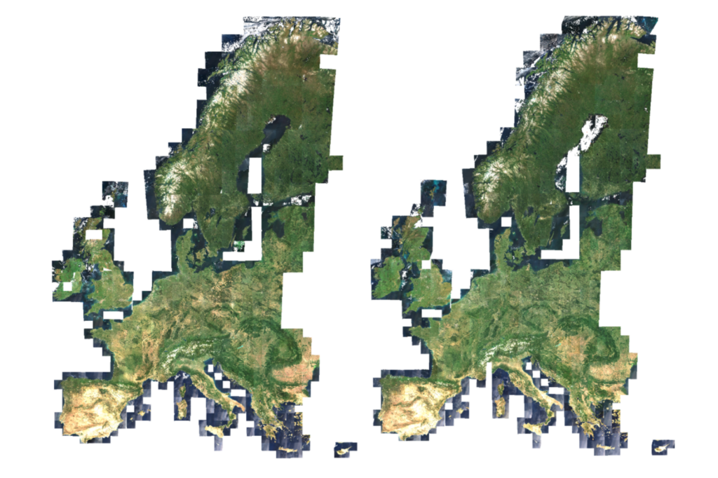
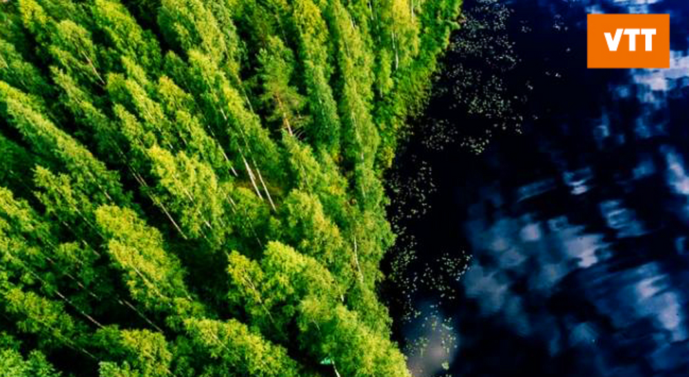
Satellite imagery has value for forestry, land-cover monitoring, and environmental analysis, but anyone who has worked with raw Earth observation
Unlocking Carbon Insights with Terramonitor Sentinel-2 Analysis-Ready Service Read More »
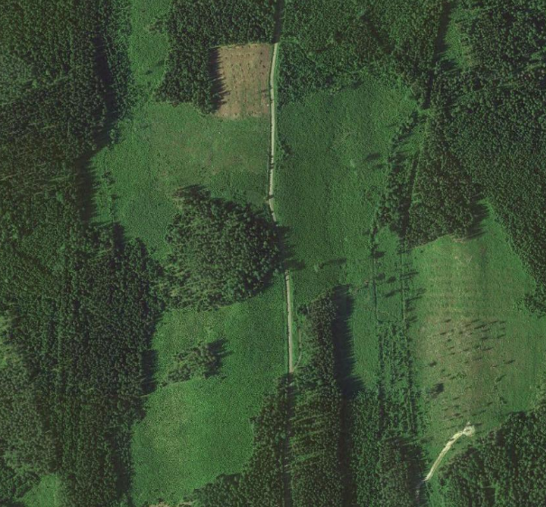
Forest biomass and carbon monitoring play a key role in climate change mitigation. Operational large area monitoring approaches are needed
Climate change mitigation using satellites Read More »
Carbon sequestration in forests is an important factor in the fight against climate change. Trees absorb CO2 from the atmosphere
Carbon sequestration and satellite images Read More »
A considerable part of what we do at Terramonitor can be summed up by the extract, transform, load (ETL) paradigm.
The Fastest Way to Extract Values from Geospatial Data Read More »
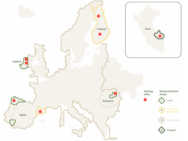
The Forest Digital Twin Component — Forest DTC project achieved a major milestone on Thursday, 28th October, by publicly introducing
Successful Forest DTC Prototype Demonstration Read More »
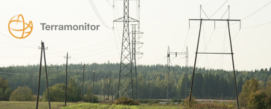
Gridraven is the world’s largest Dynamic Line Rating (DLR) provider for high-voltage grids with 11,000 km grid covered based in
Supporting satellite-based DEM wind analysis for Gridraven Read More »
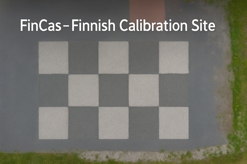
FinCas Project Launched by FGI and Terramonitor The Finnish Geospatial Research Institute (FGI), part of the National Land Survey of
FinCas – Cal/Val site Read More »
PostGIS and ST_Simplify: A Case Study This blog post starts with a short introduction of PostGIS and why we chose
PostGIS and why we like it Read More »
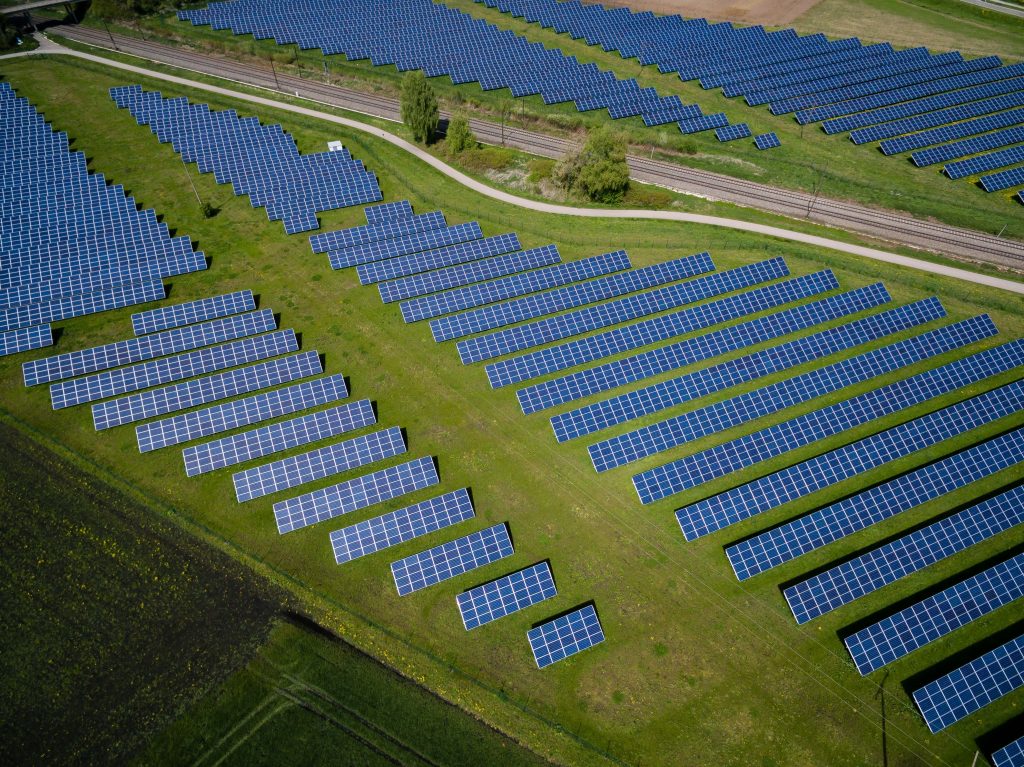
Like businesses, satellite technology develops at breakneck speed. Satellite images have proven to be valuable tools to support companies’ business
Satellite images in business Read More »