Unlocking Carbon Insights with Terramonitor Sentinel-2 Analysis-Ready Service
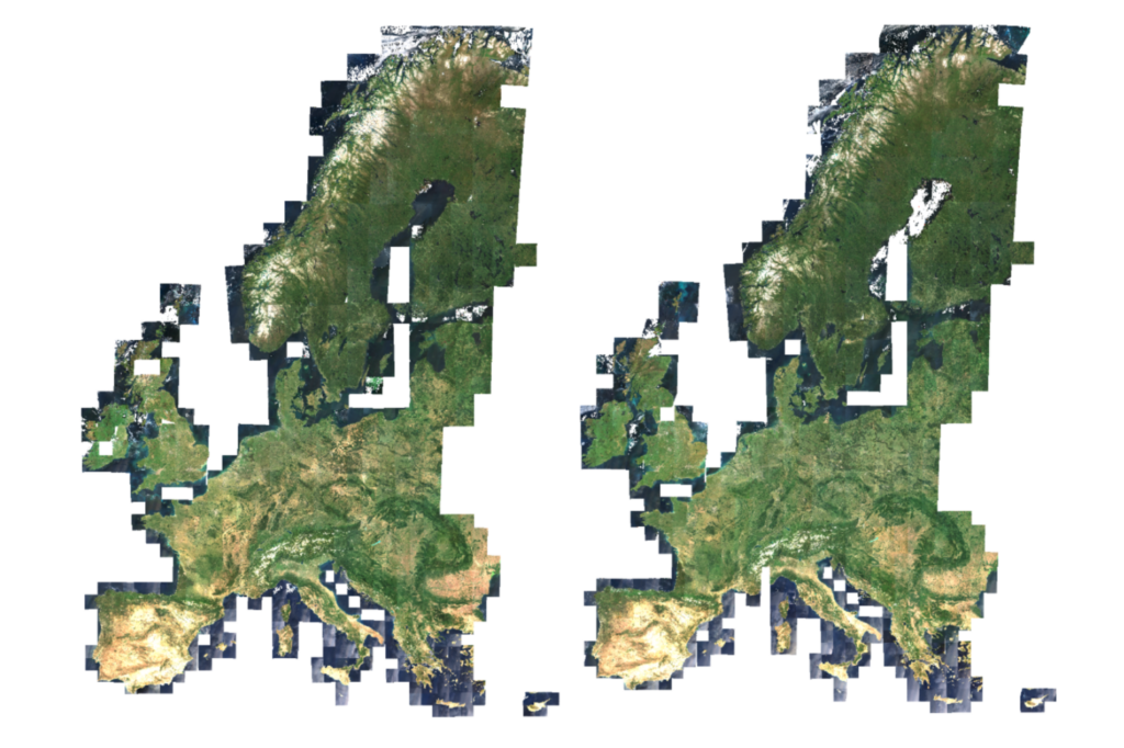
Satellite imagery has value for forestry, land-cover monitoring, and environmental analysis, but anyone who has worked with raw Earth observation […]
Unlocking Carbon Insights with Terramonitor Sentinel-2 Analysis-Ready Service Read More »